Day 2 of our tramp over V Notch Pass.
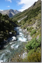
We left South Temple Hut in the morning and continued up the river. The track/route had been washed away in parts so there were some premium bush bashing moments to be had with some spiky spaniard goodness. After a while the track split in two with one branch heading up to Gun Sight Pass and the other branch heading up to V Notch pass. Craig was feeling ill so we stopped for lunch just after the junction and munched on things in the sunshine.
We decided to split up. Craig, Regan, and Jeremy were to attempt Gun Sight Pass or walk back to South Temple Hut and possibly back to the road end to meet Kenith who had already walked out with a bung knee. Gina, Francis, Beth, and I were to attempt V Notch Pass.
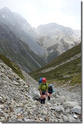
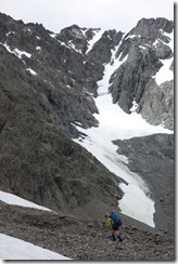
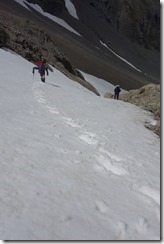
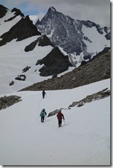
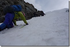
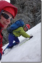
We headed off up the river and it wasn’t so long before we reached the scree slopes at the head of the valley. We did some scree clambering until we reached a long thin patch of snow that ascended towards the summit. We stuck on our crampons and kicked steps up the snow. It turned out to be quite steep – I reckoned between 35 and 40 degrees – but the snow was good and Gina and I became step kicking factories.
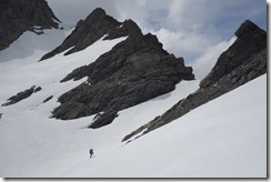
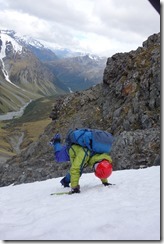
We jumped back on to the rock at some point and plodded up in the wind and spindrift that was being blown into our faces. We had a great view of the snowy mountains at the top as we traversed around to V Notch Pass with some snow plodding again at the end. We descended backwards on a tongue of snow from the pass, front pointing into the snow and using our ice axes as hand holds. It was then a little more steep rock and then snow grass and we reached the scrub which continued into the valley.
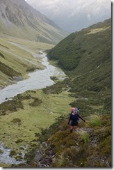
The scrub proved to be quite entertaining. We wallowed and swam our way down the steep slopes. At times we fell down little banks but were always caught by various branches. We managed to avoid falling off any of the larger bluffs and found our way to the grass below where Beth informed us that she had been raped by hundreds of trees.
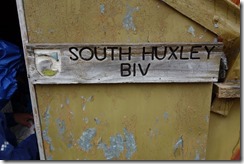
It was looking decidedly like evening as we headed down the river. Around about 9 pm we spotted some orange Minarets on the true right of the river next to the South Huxely Biv. It was Keren, Achim, Mikey, and Hazel and we found them cozied up in the biv. Francis and Beth cooked dinner while we hung about in the biv and ate truffels. We ate and briefly celebrated the Samoan new year which happily allowed us to go to bed an hour earlier than if we’d celebrated the NZ new year.
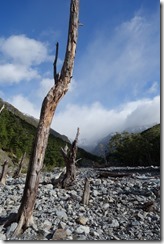
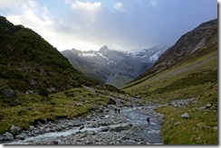
Above left: Arthurs Pass April 2009. Above middle: We had some trouble following the route as it had been washed away in parts so we had some bush bashing fun along the side of the river at times. Above right: Gina, Beth, Francis, and I headed up over V Notch Pass while the others headed over Gun Sight Pass.
Above left: The route to V Notch Pass involved ascending to a ridge and then traversing around to the pass. The route became more alpine as we ascended. Above middle: We had a steep section of snow to navigate. I reckoned between 35 and 40 degrees. Gina and I kicked steps to the top. Above right: And a nice traverse over to V Notch Pass. That’s the flat section of snow at the low point on the ridge.
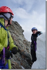
Above left: Gina waits during the last ascent to the pass. You can see footprints from the other half of our party that walked up the Ahuriri valley. Above right: Beth and Gina do some nattering at the pass.
Above left: Then it was time to down climb. The snow was quite happy and soft. Above middle: Gina and I lead the way front pointing and using our ice axes. Above right: Gina shows off her kicking skills.
Above left: After descending from the pass we eventually reached the bush line and had some gnarly scrub to navigate. We went for the approach of tumbling through the scrub trying to avoid the bigger bluffs. It worked well. Above right: It was getting later by the time we neared the Biv.
Above: We stayed the night in and around the South Huxley Biv. The rest of our party that had gone up the Ahuriri were in the Biv so we celebrated New Years Eve with them.
Above: We slogged up to V Notch pass while the weather couldn’t make up its mind.
Above: Our descent from V Notch pass was a bush bashing game.
Above: There was some trudging involved. But it was good trudging.
View Larger Topographic Map
Above: And a dinky map of our route courtesy of topomap.co.nz.
